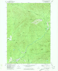
1980 Map of Waterville Valley
USGS Topo · Published 1981About this map
White Mountain National Forest dominates the terrain of this 1980 survey, where the peaks of Mt Tecumseh and Sandwich Mtn define a landscape of steep ridges and narrow valleys. The Mad River carves through the southern portion of the quadrangle, serving as a focal point for local settlement and early infrastructure. Near the hamlet of Goose Hollow, the Mad River Cem and Sixmile Bridge represent the historical footprint of the community before the expansion of recreation-based development.
Find a feature on this map
77 named features on this map. Tap any name to fly to it.
Don’t see what you’re looking for? This feature index may not catch every label — zoom into the map to look around manually.
Map Details
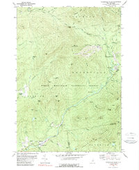
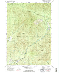
Editions of this 1980 Waterville Valley Map
3 editions found
Other maps of this area

1895 · Crawford Notch
USGS Topo · 1:62,500

1896 · Crawford Notch
USGS Topo · 1:62,500

1928 · Plymouth
USGS Topo · 1:62,500

1929 · Franconia
USGS Topo · 1:62,500

1931 · Plymouth
USGS Topo · 1:62,500

1931 · Mt. Chocorua
USGS Topo · 1:62,500

1932 · Franconia
USGS Topo · 1:62,500

1946 · Crawford Notch
USGS Topo · 1:62,500

1949 · Portland
USGS Topo · 1:250,000
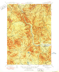
1950 · Crawford Notch
USGS Topo · 1:62,500