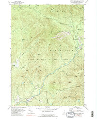
1980 Map of Waterville Valley
USGS Topo · Published 1989About this map
Waterville Valley serves as a primary hub of recreational activity within the White Mountain National Forest, where late-twentieth-century development for tourism is evident. The landscape is defined by the steep relief of the Sandwich Range, featuring Mtn Tecumseh and its network of ski lifts, which stand in contrast to the more isolated peaks like Sandwich Mtn and Fisher Mtn. The Mad River carves a deep valley through the center of the sheet, followed by the Tripoli Road as it passes through Thornton Gap. Local history is anchored by the Mad River Cem and the small settlement at Goose Hollow near the southern edge of the survey. Significant natural features include the Mill Brook Cascade and Shell Cascade, along with high-elevation water bodies like Cone Pond and Atwood Pond, illustrating the drainage patterns of the Livermore, Waterville, and Thornton townships.
Find a feature on this map
65 named features on this map. Tap any name to fly to it.
Don’t see what you’re looking for? This feature index may not catch every label — zoom into the map to look around manually.
Map Details
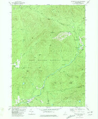
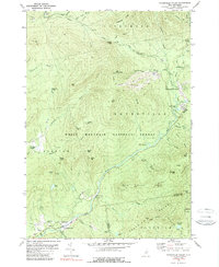
Editions of this 1980 Waterville Valley Map
3 editions found
Other maps of this area

1895 · Crawford Notch
USGS Topo · 1:62,500

1896 · Crawford Notch
USGS Topo · 1:62,500

1928 · Plymouth
USGS Topo · 1:62,500

1929 · Franconia
USGS Topo · 1:62,500

1931 · Plymouth
USGS Topo · 1:62,500

1931 · Mt. Chocorua
USGS Topo · 1:62,500

1932 · Franconia
USGS Topo · 1:62,500

1946 · Crawford Notch
USGS Topo · 1:62,500

1949 · Portland
USGS Topo · 1:250,000
1950 · Crawford Notch
USGS Topo · 1:62,500