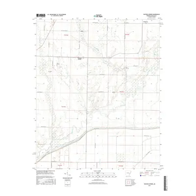
2017 Map of Watkins Corner
USGS Topo · Published 2017About this map
Big Creek and Coffee Creek define the low-lying hydrology of this Phillips County landscape, where the Delta's agricultural patterns are interlaced with numerous wetlands and sloughs. The settlement at Watkins Corner serves as a central junction for local transport, while the smaller communities of Cypert and Kingtown occupy the northern reaches of the sheet. The area is marked by a deep genealogical record preserved in its many rural burying grounds, including the Mount Zion Cem and Lightfoot Cem to the west, and the Coffee Creek Cem and Taylor Cem further east.
Find a feature on this map
42 named features on this map. Tap any name to fly to it.
Don’t see what you’re looking for? This feature index may not catch every label — zoom into the map to look around manually.
Map Details
Editions of this 2017 Watkins Corner Map
This is the sole edition of this map. No revisions or reprints were ever made.
Other maps of this area

1939 · Modoc
USGS Topo · 1:62,500

1939 · Indian Bay
USGS Topo · 1:62,500

1940 · Marvell
USGS Topo · 1:62,500

1940 · Holly Grove
USGS Topo · 1:62,500

1948 · Helena
USGS Topo · 1:250,000

1948 · Modoc
USGS Topo · 1:62,500

1950 · Helena
USGS Topo · 1:250,000

1954 · Indian Bay
USGS Topo · 1:62,500

1955 · Helena
USGS Topo · 1:250,000

1956 · Marvell
USGS Topo · 1:62,500