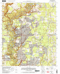
2024 Map of Watson
USGS Topo · Published 2024About this map
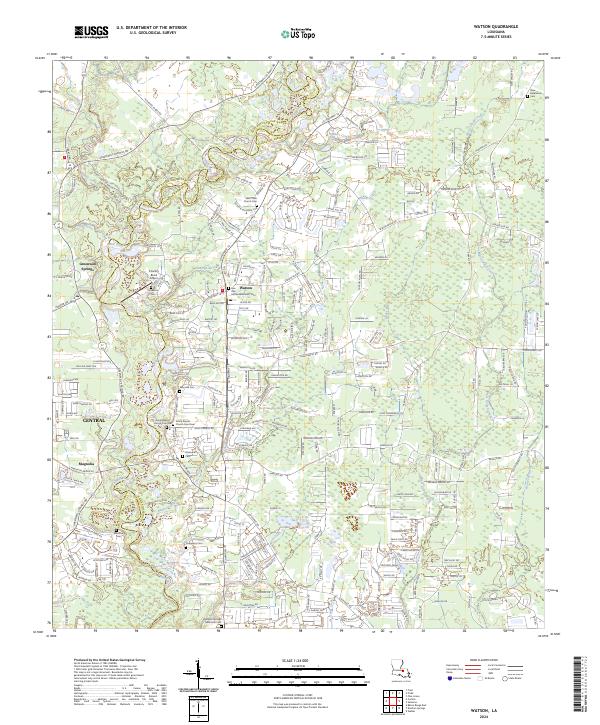
The Amite River forms a winding natural boundary between East Baton Rouge Parish and Livingston Parish in this contemporary survey. This area is characterized by a dense network of suburban development and rural homesteads, anchored by the settlements of Watson and Greenwell Springs. The map reveals a high concentration of burial grounds and religious sites, including the Amite Baptist Church Cem Old and Amite Baptist Church Cem New, which serve as vital touchstones for family historians. Aviation and transportation are noted through landmarks like the Country Bend Airport and the major corridor of LA Highway 16. Numerous watercourses like Sandy Creek and Beaver Creek define the drainage of this low-lying landscape, while named cemeteries such as Bradford Cem and New Bethlehem Cem document the long-standing community footprint.
Find a feature on this map
238 named features on this map. Tap any name to fly to it.
Don’t see what you’re looking for? This feature index may not catch every label — zoom into the map to look around manually.
Map Details
Editions of this 2024 Watson Map
This is the sole edition of this map. No revisions or reprints were ever made.
Historical Maps of Plainview Through Time
5 maps found