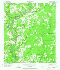
1954 Map of Watson
USGS Topo · Published 1965About this map
The Amite River defines the boundary between East Baton Rouge Parish and Livingston Parish in this mid-century survey, a landscape marked by winding bayous and scattered rural settlements. Small communities like Watson, Greenwell Springs, Plainview, and Magnolia serve as anchors for the local population, connected by a network of roads that navigate the complex drainage of Sandy Creek and West Colyell Creek. Local history is deeply embedded in the land through numerous family and community landmarks, including the Newsom Cem and the Greenwell Springs Sanatorium. The presence of an Indian Mound near Bethel Ch and Camp Istrouma points to a much older layer of human history along these river bluffs. Resource extraction is visible in several Gravel Pit operations along the river's northern reaches, reflecting the area's economic ties to its natural geology.
Find a feature on this map
31 named features on this map. Tap any name to fly to it.
Don’t see what you’re looking for? This feature index may not catch every label — zoom into the map to look around manually.
Map Details
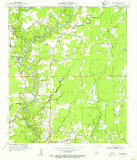
Editions of this 1954 Watson Map
2 editions found
Other maps of this area

1906 · Bayou Sara
USGS Topo · 1:125,000

1908 · Baton Rouge
USGS Topo · 1:62,500

1934 · Denham Springs
USGS Topo · 1:62,500

1939 · Zachary
USGS Topo · 1:62,500

1939 · Denham Springs
USGS Topo · 1:62,500

1939 · Baton Rouge
USGS Topo · 1:62,500

1942 · Pine Grove
USGS Topo · 1:31,680

1942 · Pride
USGS Topo · 1:31,680

1942 · Watson
USGS Topo · 1:31,680

1942 · Satsuma
USGS Topo · 1:31,680