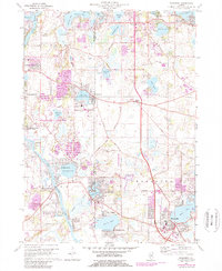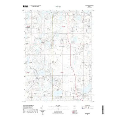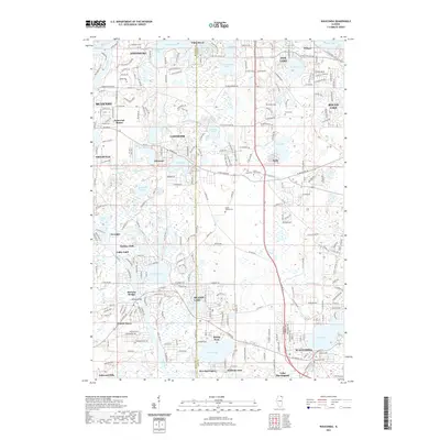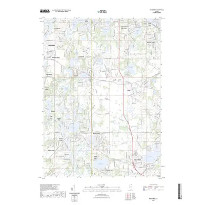
1993 Map of Wauconda
USGS Topo · Published 1993About this map
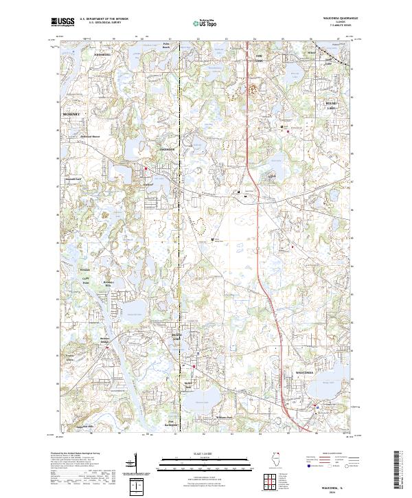
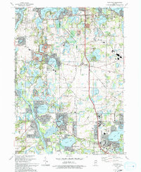
The boundary between McHenry and Lake counties defines this late-century landscape, dominated by a complex network of glacial kettle lakes and wetland preserves. The central portion is anchored by the Volo Bog State Nature Preserve, a distinct ecological landmark that remains largely undeveloped compared to the surrounding residential growth in Wauconda and Island Lake. To the west, the Fox River winds past established riverfront communities like Holiday Hills and Burtons Bridge, while the Moraine Hills State Park protects a significant stretch of terrain around Defiance Lake. This 1993 revision illustrates the suburban infill of the era, where traditional institutional sites such as the Fisher Family Cem and the Crown Sch sit alongside growing neighborhoods like Eastwood Manor and Prairie Grove. Large institutional campgrounds, including Camp Hickory and Camp Duncan, occupy the northern lakefronts, preserving open space amidst the region's mid-90s expansion.
Find a feature on this map
81 named features on this map. Tap any name to fly to it.
Don’t see what you’re looking for? This feature index may not catch every label — zoom into the map to look around manually.
Map Details
Editions of this 1993 Wauconda Map
This is the sole edition of this map. No revisions or reprints were ever made.
Historical Maps of McHenry Through Time
9 maps found