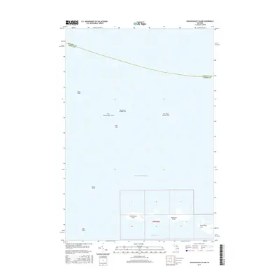
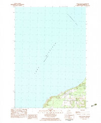
2017 Map of Waugoshance Island
USGS Topo · Published 2017About this map
Waugoshance Island and Temperance Island anchor this nautical landscape at the northwestern edge of Michigan's Lower Peninsula. The map details the complex maritime environment where Lake Michigan meets the Straits area, defined by hazardous underwater features like White Shoal and Vienna Shoal. These shoals, along with the numbered series of New Shoal Number One through New Shoal Number Three, indicate a legacy of navigation challenges and the vital importance of accurate hydrography in these northern waters.
Find a feature on this map
14 named features on this map. Tap any name to fly to it.
Don’t see what you’re looking for? This feature index may not catch every label — zoom into the map to look around manually.
Map Details
Editions of this 2017 Waugoshance Island Map
This is the sole edition of this map. No revisions or reprints were ever made.
Other maps of this area

1948 · Moran NW
USGS Topo · 1:31,680

1955 · Cheboygan
USGS Topo · 1:250,000

1958 · Cheboygan
USGS Topo · 1:250,000

1958 · Cross Village
USGS Topo · 1:62,500

1958 · Pellston
USGS Topo · 1:62,500

1964 · Big Stone Bay
USGS Topo · 1:24,000
1964 · Pointe Aux Chenes
USGS Topo · 1:24,000
1982 · Bliss
USGS Topo · 1:25,000
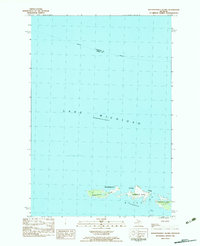
1982 · Waugoshance Island
USGS Topo · 1:25,000
1982 · Cross Village
USGS Topo · 1:25,000