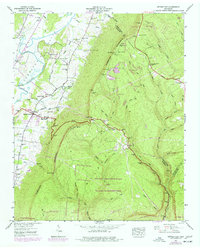
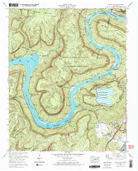
1942 Map of Wauhatchie
USGS Topo · Published 1968About this map
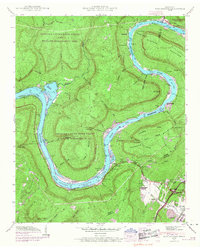
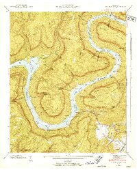
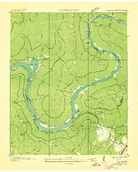
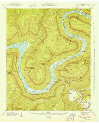
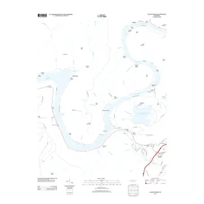
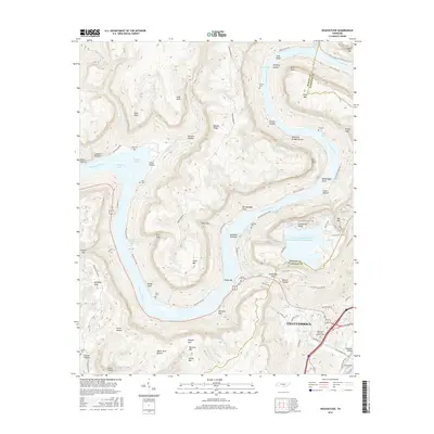
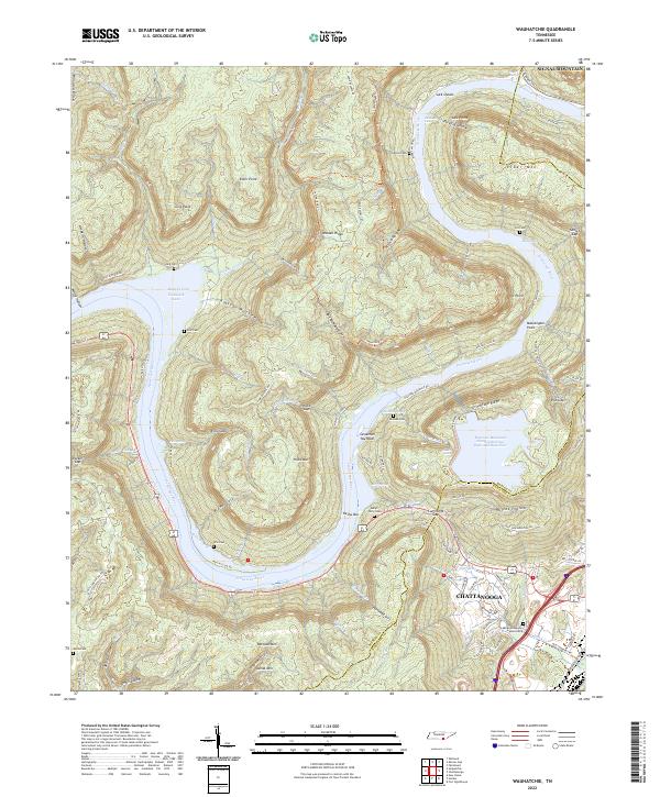
The Tennessee River carves a dramatic S-curve through the heart of this landscape, separating the massive Raccoon Mountain from the protected expanse of the Prentice Cooper State Forest and Wildlife Management Area. The river's flow is punctuated by evocative nautical hazards and landmarks like Suck Shoals, The Suck, and The Pot, reflecting the challenges of navigating this stretch of the river before its modern transformation. Small pockets of rural life are visible at Kellys Ferry and Aetna, with scattered mountain institutions such as Suck Port Sch and Cummings Ch serving the local families.
Find a feature on this map
68 named features on this map. Tap any name to fly to it.
Don’t see what you’re looking for? This feature index may not catch every label — zoom into the map to look around manually.
Map Details
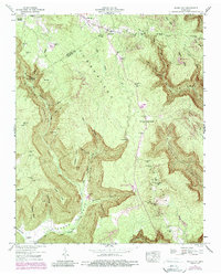
Editions of this 1942 Wauhatchie Map
2 editions found
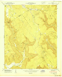
Historical Maps of Chattanooga Through Time
25 maps found

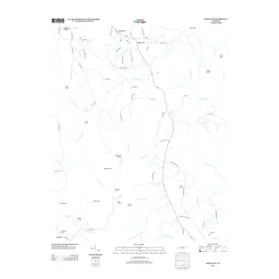
1936 Ketner Gap
Marion County, TN
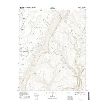
1936 Wauhatchie
Marion County, TN
1936 White City
Marion County, TN
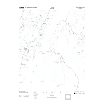
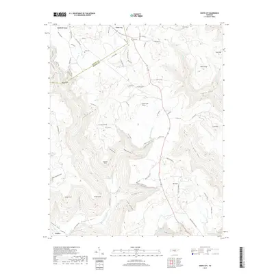
1942 Wauhatchie
Marion County, TN
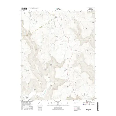
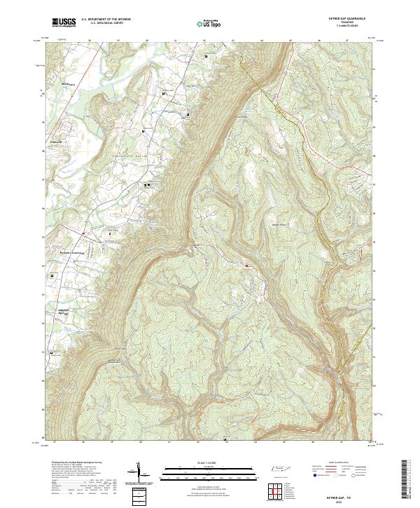
1943 Ketner Gap
Marion County, TN
1943 Wauhatchie
Marion County, TN

1946 Ketner Gap
Marion County, TN
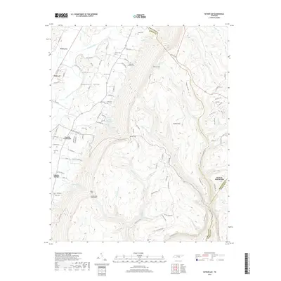
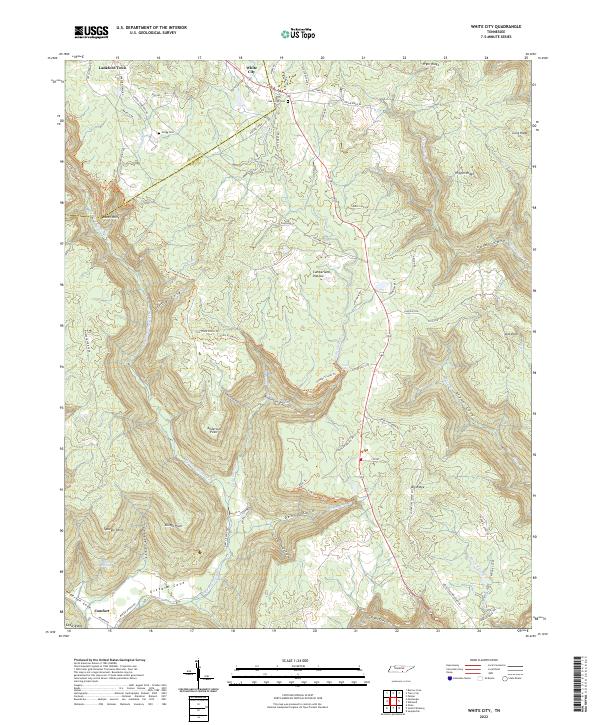
1947 White City
Marion County, TN
1950 White City
Marion County, TN
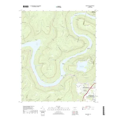
1970 Wauhatchie
Marion County, TN
2010 Ketner Gap
Marion County, TN
2010 Wauhatchie
Marion County, TN
2010 White City
Marion County, TN
2013 Ketner Gap
Marion County, TN
2013 Wauhatchie
Marion County, TN
2013 White City
Marion County, TN
2016 Ketner Gap
Marion County, TN
2016 Wauhatchie
Marion County, TN
2016 White City
Marion County, TN
2019 Ketner Gap
Marion County, TN
2019 Wauhatchie
Marion County, TN
2019 White City
Marion County, TN
2022 Ketner Gap
Marion County, TN
2022 Wauhatchie
Marion County, TN
2022 White City
Marion County, TN