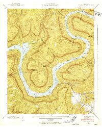
1942 Map of Wauhatchie
USGS Topo · Published 1952About this map
Raccoon Mountain and the winding course of the Tennessee River dominate this 1942 landscape, captured as the Hales Bar Reservoir shaped the local topography. This era shows the deep river bends and rocky features like The Suck and Suck Shoals before modern navigational changes altered their character. Small communities and family settlements are scattered throughout the hollows and along the riverbanks, including Stanley Sett and the area near Wauhatchie.
Find a feature on this map
74 named features on this map. Tap any name to fly to it.
Don’t see what you’re looking for? This feature index may not catch every label — zoom into the map to look around manually.
Map Details
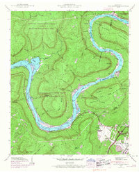
Editions of this 1942 Wauhatchie Map
2 editions found
Other maps of this area

1886 · Ringgold
USGS Topo · 1:125,000

1886 · Stevenson
USGS Topo · 1:125,000

1888 · Chattanooga
USGS Topo · 1:125,000

1892 · Ringgold
USGS Topo · 1:125,000

1892 · Stevenson
USGS Topo · 1:125,000

1893 · Chattanooga
USGS Topo · 1:125,000

1895 · Stevenson
USGS Topo · 1:125,000

1895 · Sewanee
USGS Topo · 1:125,000

1936 · Shellmound
USGS Topo · 1:24,000

1936 · Whitwell
USGS Topo · 1:24,000