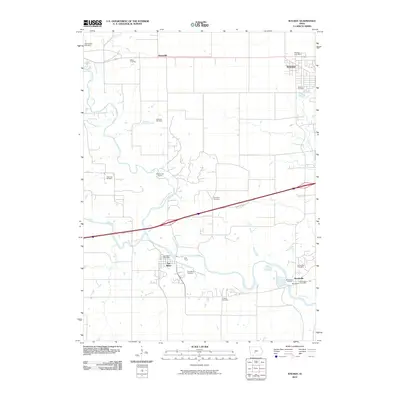
2010 Map of Waukee
USGS Topo · Published 2010About this map
The North Raccoon River and South Raccoon River converge on this map, shaping a landscape defined by water and early Midwestern transit routes. This area of Dallas County shows the established town sites of Waukee, Van Meter, and Booneville, each centered around its respective post office. The map serves as a vital genealogical resource, documenting numerous family and fraternal burial grounds including the Odd Fellows Cemetery, Miller Cemetery, and Thornton Cemetery. To the north, the small settlement of Ortonville sits along the roadway, while the Raccoon River winds through the southern section near the Booneville Access. The survey provides a clear view of the rural-to-suburban shift in this part of Iowa at the start of the 2010s, maintaining clear delineations of older agricultural holdings alongside growing township footprints.
Find a feature on this map
23 named features on this map. Tap any name to fly to it.
Don’t see what you’re looking for? This feature index may not catch every label — zoom into the map to look around manually.
Map Details
Editions of this 2010 Waukee Map
This is the sole edition of this map. No revisions or reprints were ever made.
Other maps of this area

1908 · Waukee
USGS Topo · 1:62,500

1949 · Adel
USGS Topo · 1:62,500

1951 · Adel
USGS Topo · 1:62,500

1951 · St. Charles
USGS Topo · 1:62,500

1952 · Winterset
USGS Topo · 1:62,500

1954 · Omaha
USGS Topo · 1:250,000

1954 · Des Moines
USGS Topo · 1:250,000

1956 · Des Moines
USGS Topo · 1:250,000

1957 · Des Moines
USGS Topo · 1:250,000

1957 · Omaha
USGS Topo · 1:250,000