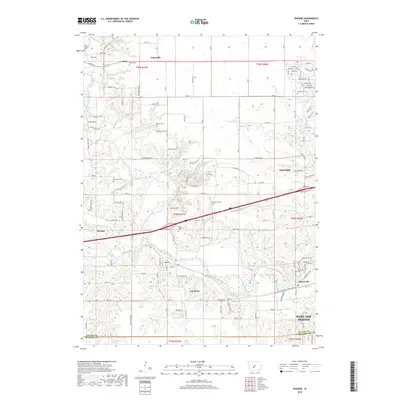
2018 Map of Waukee
USGS Topo · Published 2018About this map
Van Meter and the western edge of West Des Moines define this corridor where the forks of the Raccoon River converge. The North Raccoon River and South Raccoon River meet just south of the interstate, creating a complex hydrologic landscape punctuated by Raccoon River bends and small tributaries like Bulger Cr. This 2018 survey reveals the rapid transition from established town centers to expanding residential layouts in Waukee and Adel.
Find a feature on this map
122 named features on this map. Tap any name to fly to it.
Don’t see what you’re looking for? This feature index may not catch every label — zoom into the map to look around manually.
Map Details
Editions of this 2018 Waukee Map
This is the sole edition of this map. No revisions or reprints were ever made.
Other maps of this area

1908 · Waukee
USGS Topo · 1:62,500

1949 · Adel
USGS Topo · 1:62,500

1951 · Adel
USGS Topo · 1:62,500

1951 · St. Charles
USGS Topo · 1:62,500

1952 · Winterset
USGS Topo · 1:62,500

1954 · Omaha
USGS Topo · 1:250,000

1954 · Des Moines
USGS Topo · 1:250,000

1956 · Des Moines
USGS Topo · 1:250,000

1957 · Des Moines
USGS Topo · 1:250,000

1957 · Omaha
USGS Topo · 1:250,000