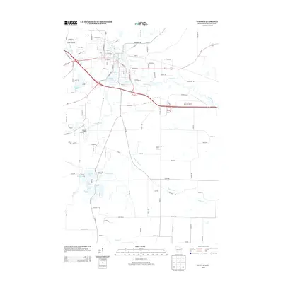
2013 Map of Waupaca
USGS Topo · Published 2013About this map
The Waupaca city center and its surrounding glacial lake district are the focal point of this 2013 survey. The landscape is defined by the winding course of the Waupaca River and the Crystal River, which connect several prominent water bodies including Shadow Lake, Mirror Lake, and the smaller Cary Pond near the heart of town. To the south, a cluster of smaller lakes such as Bailey Lake, McLean Lake, and Gooseneck Lake reflect the typical kettle-and-moraine geography of Central Wisconsin.
Find a feature on this map
108 named features on this map. Tap any name to fly to it.
Don’t see what you’re looking for? This feature index may not catch every label — zoom into the map to look around manually.
Map Details
Editions of this 2013 Waupaca Map
This is the sole edition of this map. No revisions or reprints were ever made.
Other maps of this area

1955 · Green Bay
USGS Topo · 1:250,000

1956 · Weyauwega
USGS Topo · 1:48,000

1957 · Waupaca
USGS Topo · 1:48,000

1961 · Poy Sippi
USGS Topo · 1:62,500

1961 · Redgranite
USGS Topo · 1:62,500

1961 · Saxeville
USGS Topo · 1:24,000

1961 · Wild Rose
USGS Topo · 1:24,000
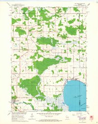
1961 · Poy Sippi
USGS Topo · 1:24,000
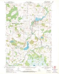
1969 · Manawa
USGS Topo · 1:24,000
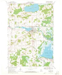
1969 · Weyauwega
USGS Topo · 1:24,000