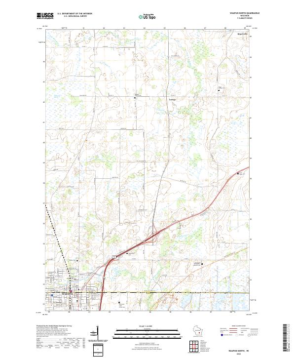
2022 Map of Waupun North
USGS Topo · Published 2022About this map
Waupun anchors the southern edge of this survey, where the S Br Rock River flows near the historic Wisconsin State Prison Cem. The landscape northward is defined by agricultural tracts and significant wetland systems, most notably the Gallagher Marsh and the meandering course of the W Br Rock River. Small rural centers such as Ladoga and Rogersville are scattered across the terrain, connected by a network of county roads including Co RD T and Co RD M.
Find a feature on this map
127 named features on this map. Tap any name to fly to it.
Don’t see what you’re looking for? This feature index may not catch every label — zoom into the map to look around manually.
Map Details
Editions of this 2022 Waupun North Map
This is the sole edition of this map. No revisions or reprints were ever made.
Other maps of this area

1916 · Ripon
USGS Topo · 1:48,000

1918 · Ripon
USGS Topo · 1:62,500

1955 · Waupun
USGS Topo · 1:62,500

1955 · Fox Lake
USGS Topo · 1:62,500

1956 · Ripon
USGS Topo · 1:62,500

1956 · Rosendale
USGS Topo · 1:62,500

1957 · Madison
USGS Topo · 1:250,000

1960 · Madison
USGS Topo · 1:250,000

1975 · Waupun NW
USGS Topo · 1:24,000
1975 · Waupun NE
USGS Topo · 1:24,000