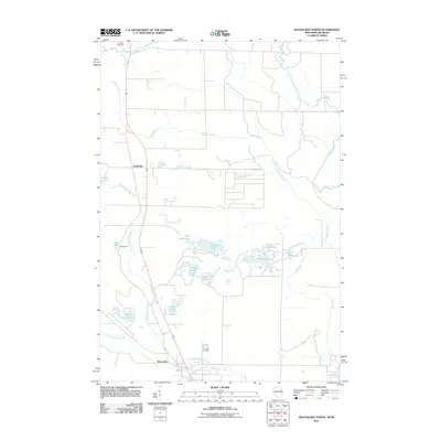
2011 Map of Wausaukee North
USGS Topo · Published 2011About this map
The Wausaukee River and Menominee River converge at the southern edge of this northern Wisconsin landscape, anchoring the village of Wausaukee. This survey reflects a region defined by its complex hydrology and timbered heritage, where numerous drainage systems like Holmes Creek and Wolf Creek feed into a mosaic of water bodies, including Fence Lake, Island Lake, and the sequestered Lost Lake.
Find a feature on this map
22 named features on this map. Tap any name to fly to it.
Don’t see what you’re looking for? This feature index may not catch every label — zoom into the map to look around manually.
Map Details
Editions of this 2011 Wausaukee North Map
This is the sole edition of this map. No revisions or reprints were ever made.
Other maps of this area

1939 · Pembine
USGS Topo · 1:48,000

1939 · Dunbar
USGS Topo · 1:48,000

1940 · Athelstane
USGS Topo · 1:48,000

1941 · Dunbar
USGS Topo · 1:48,000

1942 · Athelstane
USGS Topo · 1:48,000

1942 · Wausaukee
USGS Topo · 1:48,000

1947 · Pembine
USGS Topo · 1:48,000

1947 · Dunbar
USGS Topo · 1:48,000

1947 · Wausaukee
USGS Topo · 1:48,000

1954 · Iron Mountain
USGS Topo · 1:250,000