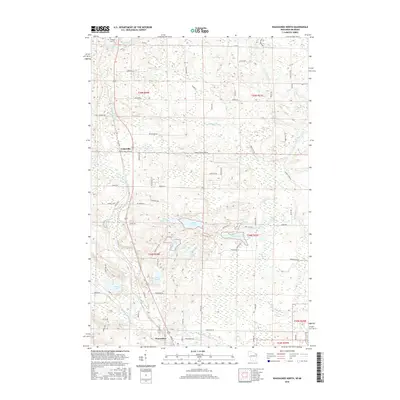
2016 Map of Wausaukee North
USGS Topo · Published 2016About this map
Pike River and the Wausaukee River define the watery landscape of northern Marinette County, winding through a region characterized by a dense network of glacial lakes and small creeks. The settlement of Cedarville serves as a local focal point near the western edge of the map, while the northern outskirts of Wausaukee anchor the southern boundary. This area is notable for its abundance of named water bodies, including Wolf Lake, Island Lake, and Long Lake, which suggest a long-standing history of recreational and timber-related activity.
Find a feature on this map
77 named features on this map. Tap any name to fly to it.
Don’t see what you’re looking for? This feature index may not catch every label — zoom into the map to look around manually.
Map Details
Editions of this 2016 Wausaukee North Map
This is the sole edition of this map. No revisions or reprints were ever made.
Other maps of this area

1939 · Pembine
USGS Topo · 1:48,000

1939 · Dunbar
USGS Topo · 1:48,000

1940 · Athelstane
USGS Topo · 1:48,000

1941 · Dunbar
USGS Topo · 1:48,000

1942 · Athelstane
USGS Topo · 1:48,000

1942 · Wausaukee
USGS Topo · 1:48,000

1947 · Pembine
USGS Topo · 1:48,000

1947 · Dunbar
USGS Topo · 1:48,000

1947 · Wausaukee
USGS Topo · 1:48,000

1954 · Iron Mountain
USGS Topo · 1:250,000