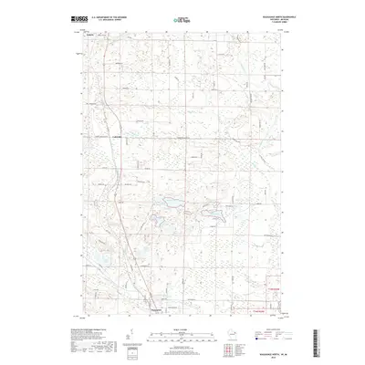
2018 Map of Wausaukee North
USGS Topo · Published 2018About this map
The Pike River and Wausaukee River systems define this Marinette County landscape, where glacial legacy is evident in the dense cluster of kettle lakes and wetlands. The settlement of Amberg sits near the northern boundary, while Wausaukee anchors the southern edge, connected by a network of timber and access roads including Amberg Wausaukee Rd and Forest Rd 103. Local history is anchored by the Amberg Cem and the small siding at Cedarville, marking the corridor between the larger townships. The terrain is notably water-heavy, featuring numerous named basins such as Island Lake, Wolf Lake, and Long Lake. This network of creeks, including Holmes Cr and Little Wausaukee Cr, illustrates the drainage patterns vital to the region's historical logging and agricultural development.
Find a feature on this map
60 named features on this map. Tap any name to fly to it.
Don’t see what you’re looking for? This feature index may not catch every label — zoom into the map to look around manually.
Map Details
Editions of this 2018 Wausaukee North Map
This is the sole edition of this map. No revisions or reprints were ever made.
Other maps of this area

1939 · Pembine
USGS Topo · 1:48,000

1939 · Dunbar
USGS Topo · 1:48,000

1940 · Athelstane
USGS Topo · 1:48,000

1941 · Dunbar
USGS Topo · 1:48,000

1942 · Athelstane
USGS Topo · 1:48,000

1942 · Wausaukee
USGS Topo · 1:48,000

1947 · Pembine
USGS Topo · 1:48,000

1947 · Dunbar
USGS Topo · 1:48,000

1947 · Wausaukee
USGS Topo · 1:48,000

1954 · Iron Mountain
USGS Topo · 1:250,000