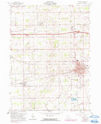
2023 Map of Wauseon
USGS Topo · Published 2023About this map
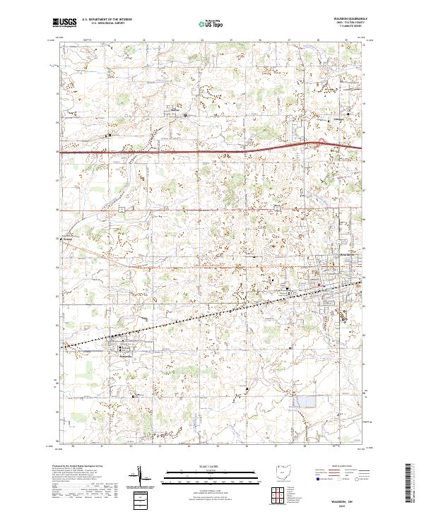
The Fulton County Courthouse in Wauseon serves as the central landmark for this northwestern Ohio quadrangle, where the grid of city streets gives way to the expansive agricultural landscape of Fulton County. The town layout is clearly defined by corridors like E Walnut St and W Leggett St, surrounding the Wauseon Union Cemetery. To the west, the village of Pettisville sits at the intersection of Commercial St and Co Rd D, notable for the Pettisville Lutheran Cemetery and several community burial grounds.
Find a feature on this map
63 named features on this map. Tap any name to fly to it.
Don’t see what you’re looking for? This feature index may not catch every label — zoom into the map to look around manually.
Map Details
Editions of this 2023 Wauseon Map
This is the sole edition of this map. No revisions or reprints were ever made.
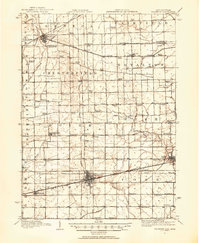
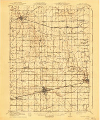
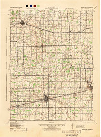
Historical Maps of Pettisville Through Time
5 maps found