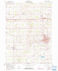
1960 Map of Wauseon
USGS Topo · Published 1991About this map
The county seat of Wauseon serves as the focal point of this Northwest Ohio landscape, where the agricultural grid is intersected by major transportation corridors. By the early 1960s, the town's expansion is visible around North Park and Reighard Park, while the local economy is tied to the Penn Central and Norfolk and Western railroads. Outside the city limits, the rural character of Clinton and Dover townships is defined by family-named landmarks and small community centers like Tedrow and Ottokee.
Find a feature on this map
37 named features on this map. Tap any name to fly to it.
Don’t see what you’re looking for? This feature index may not catch every label — zoom into the map to look around manually.
Map Details
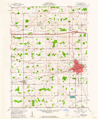
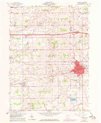
Editions of this 1960 Wauseon Map
3 editions found
Other maps of this area

1907 · Defiance
USGS Topo · 1:62,500

1908 · Napoleon
USGS Topo · 1:62,500

1909 · Defiance
USGS Topo · 1:62,500

1911 · Wauseon
USGS Topo · 1:62,500

1913 · Wauseon
USGS Topo · 1:62,500

1913 · Alvordton
USGS Topo · 1:62,500

1943 · Wauseon
USGS Topo · 1:62,500

1944 · Alvordton
USGS Topo · 1:62,500

1953 · Fort Wayne
USGS Topo · 1:250,000

1956 · Fort Wayne
USGS Topo · 1:250,000