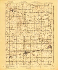
1913 Map of Wauseon
USGS Topo · Published 1941About this map
Wauseon serves as a central hub in this early twentieth-century landscape, where a dense network of steam and electric railways converged to support the agricultural economy. The survey documents an era when the Wabash RR, Ohio Electric RR, and the Lake Shore and Michigan Southern RR provided vital connections for towns like Delta, Morenci, and Pettisville. This intersection of transit lines facilitated the growth of local industry, clearly visible in the street grids and proximity to the County Fairgrounds near Ottokee.
Find a feature on this map
87 named features on this map. Tap any name to fly to it.
Don’t see what you’re looking for? This feature index may not catch every label — zoom into the map to look around manually.
Map Details
Editions of this 1913 Wauseon Map
2 editions found
Other maps of this area

1907 · Defiance
USGS Topo · 1:62,500

1908 · Napoleon
USGS Topo · 1:62,500

1909 · Mc Clure
USGS Topo · 1:62,500

1909 · Defiance
USGS Topo · 1:62,500

1911 · Wauseon
USGS Topo · 1:62,500

1911 · Swanton
USGS Topo · 1:62,500

1913 · Wauseon
USGS Topo · 1:62,500

1913 · Alvordton
USGS Topo · 1:62,500

1914 · Swanton
USGS Topo · 1:62,500

1939 · Blissfield
USGS Topo · 1:62,500