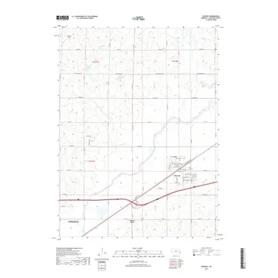
2017 Map of Waverly
USGS Topo · Published 2017About this map
The town of Waverly and the northeastern reaches of Lincoln dominate this 2017 landscape in Lancaster County. The terrain is defined by the winding course of Salt Creek, which draws together numerous smaller tributaries including Jordan Creek, Millville Creek, and Rock Creek. These waterways are flanked by local landmarks such as the Snyder Reservoir and Sponheinmer Reservoir, illustrating the drainage and water management patterns vital to this Nebraska prairie region.
Find a feature on this map
40 named features on this map. Tap any name to fly to it.
Don’t see what you’re looking for? This feature index may not catch every label — zoom into the map to look around manually.
Map Details
Editions of this 2017 Waverly Map
This is the sole edition of this map. No revisions or reprints were ever made.
Other maps of this area

1893 · Fremont
USGS Topo · 1:125,000

1896 · Fremont
USGS Topo · 1:125,000

1897 · Lincoln
USGS Topo · 1:125,000

1899 · Wahoo
USGS Topo · 1:125,000

1903 · Weeping Water
USGS Topo · 1:125,000

1929 · Weeping Water
USGS Topo · 1:125,000

1955 · Fremont
USGS Topo · 1:250,000

1955 · Lincoln
USGS Topo · 1:250,000

1957 · Fremont
USGS Topo · 1:250,000

1957 · Lincoln
USGS Topo · 1:250,000