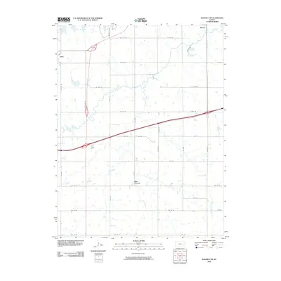
2009 Map of Waverly NW
USGS Topo · Published 2009About this map
Melvern Lake dominates the northern reaches of this Kansas landscape, where the waters meet a well-organized grid of rural roads and agrarian holdings. The small settlement of Olivet sits near the western edge, positioned along a network of numbered and named routes such as S Fairlawn Rd and W 325th St. To the south, Beto Junction serves as a notable transit point where major thoroughfares converge, reflecting the mid-continent transportation patterns of the early twenty-first century.
Find a feature on this map
45 named features on this map. Tap any name to fly to it.
Don’t see what you’re looking for? This feature index may not catch every label — zoom into the map to look around manually.
Map Details
Editions of this 2009 Waverly NW Map
This is the sole edition of this map. No revisions or reprints were ever made.
Other maps of this area

1885 · Burlington
USGS Topo · 1:125,000

1889 · Burlingame
USGS Topo · 1:125,000

1894 · Burlingame
USGS Topo · 1:125,000

1894 · Burlington
USGS Topo · 1:125,000

1947 · Lawrence
USGS Topo · 1:250,000

1950 · Lawrence
USGS Topo · 1:250,000

1956 · Lawrence
USGS Topo · 1:250,000

1957 · Lebo
USGS Topo · 1:24,000

1957 · Waverly NW
USGS Topo · 1:24,000

1957 · Waverly
USGS Topo · 1:24,000