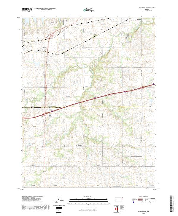
2022 Map of Waverly NW
USGS Topo · Published 2022About this map
Melvern and Olivet anchor the northern reaches of this Kansas landscape, where the headwaters of the Marais des Cygnes river system begin to take shape. The terrain is defined by a dense network of seasonal drainages, including Frog Creek and Long Creek, which carve through the prairie towards the reservoir just beyond the map's edge. A notable transition occurs at the boundary of Osage and Coffey Counties, where the rural grid of section roads meets the modern infrastructure of Beto Junction. The map captures a moment of intersection between late-nineteenth-century township divisions, such as t18s r15e, and contemporary transportation corridors. Family-named routes like S Jordan Rd and S Berryton Rd trace the path of long-standing homesteads, while Sand Cr and Joe Cr provide the primary natural landmarks for the southern half of the quadrangle.
Find a feature on this map
57 named features on this map. Tap any name to fly to it.
Don’t see what you’re looking for? This feature index may not catch every label — zoom into the map to look around manually.
Map Details
Editions of this 2022 Waverly NW Map
This is the sole edition of this map. No revisions or reprints were ever made.
Other maps of this area

1885 · Burlington
USGS Topo · 1:125,000

1889 · Burlingame
USGS Topo · 1:125,000

1894 · Burlingame
USGS Topo · 1:125,000

1894 · Burlington
USGS Topo · 1:125,000

1947 · Lawrence
USGS Topo · 1:250,000

1950 · Lawrence
USGS Topo · 1:250,000

1956 · Lawrence
USGS Topo · 1:250,000

1957 · Lebo
USGS Topo · 1:24,000

1957 · Waverly NW
USGS Topo · 1:24,000

1957 · Waverly
USGS Topo · 1:24,000