
1988 Map of Waycross
USGS Topo · Published 1988About this map
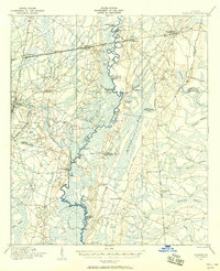
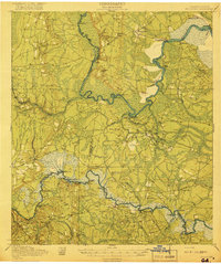
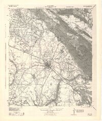
Waycross serves as a major hub for South Georgia's transit and timber geography, anchored by the expansive Okefenokee Swamp in the southeast. The landscape is defined by its massive river systems, including the Satilla River, Alapaha River, and Ocmulgee River, which historically dictated the pattern of local commerce and settlement. Large-scale rail operations like the Seaboard System Railroad and Southern Railway connect regional centers such as Moultrie, Fitzgerald, and Tifton across a terrain marked by numerous "bays" and swamp islands like Billys Island and Chesser Island. Cultural and historic landmarks are prominent, from the Jefferson Davis Memorial State Park near Irwin County to the General Coffee State Park on the Seventeen Mile Creek. This map illustrates the intersection of intensive forestry, protected wetlands, and the established agricultural communities that drove the wiregrass region's economy in the late twentieth century.
Find a feature on this map
283 named features on this map. Tap any name to fly to it.
Don’t see what you’re looking for? This feature index may not catch every label — zoom into the map to look around manually.
Map Details
Editions of this 1988 Waycross Map
This is the sole edition of this map. No revisions or reprints were ever made.
Other maps of this area
1917 · Nahunta
USGS Topo · 1:62,500

1917 · Boulogne
USGS Topo · 1:62,500
1918 · Jesup
USGS Topo · 1:62,500

1918 · Folkston
USGS Topo · 1:62,500
1918 · Hortense
USGS Topo · 1:62,500
1918 · Nahunta
USGS Topo · 1:62,500

1919 · Claxton
USGS Topo · 1:62,500
1919 · Boulogne
USGS Topo · 1:62,500

1920 · Glennville
USGS Topo · 1:62,500
1943 · Jesup
USGS Topo · 1:62,500