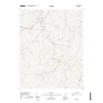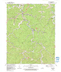
1992 Map of Wayland
USGS Topo · Published 1992About this map
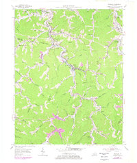
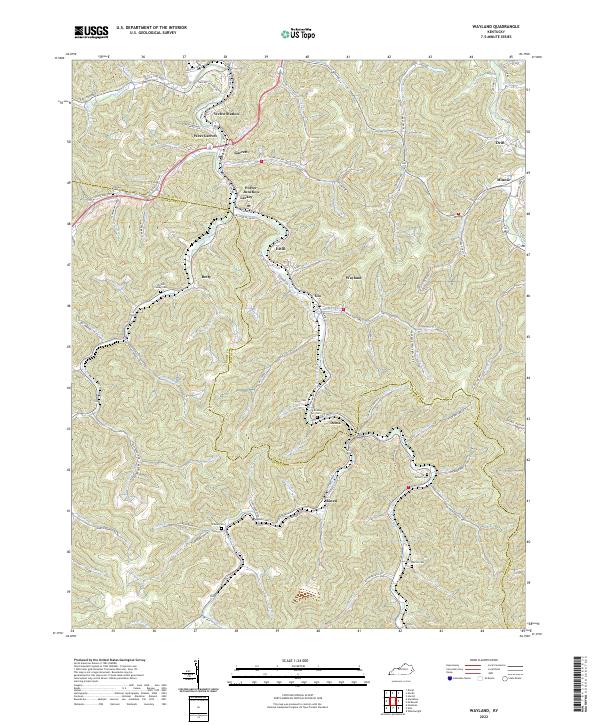
Beaver Creek and the Right Fork Beaver Creek dictate the settlement patterns of this Floyd and Knott County region, where coal mining operations and railroad spurs defined the local economy for decades. Along the narrow valley floors, the map detail shows a dense sequence of coal camps and transport hubs such as Wayland, Garrett, and Lackey. The presence of numerous Mine Dump labels and rail infrastructure like Porter Junction and Welco Sta illustrates the industrial intensity of the era, while the surrounding ridges remain primarily undeveloped. Genealogists can locate family landmarks such as Raven Cem and Turner Cem, which sit alongside country institutions like the Steele Creek Ch. Small communities such as Glo and Estill are tucked into the drainages, showing how every available acre of the creek bottoms was utilized for housing and transit.
Find a feature on this map
49 named features on this map. Tap any name to fly to it.
Don’t see what you’re looking for? This feature index may not catch every label — zoom into the map to look around manually.
Map Details
Editions of this 1992 Wayland Map
This is the sole edition of this map. No revisions or reprints were ever made.
Historical Maps of Wayland Through Time
7 maps found