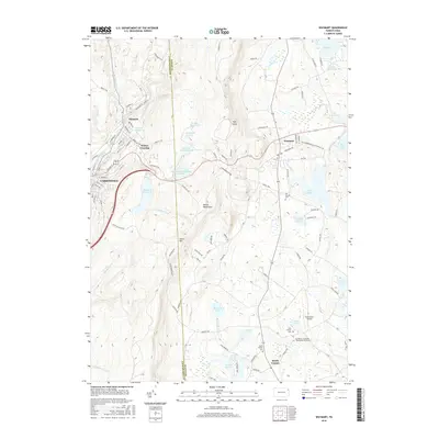
2016 Map of Waymart
USGS Topo · Published 2016About this map
The Moosic Mountains divide this landscape where the coal-country industrial heritage of the Lackawanna River valley meets the high plateau of Wayne County. In the west, the urban density of Carbondale and Simpson is defined by a complex grid of streets like Salem Ave and Canaan St, flanked by vital water works including the Brownell Reservoir and Belmont Reservoir. To the east, the terrain opens into a land of glacial lakes and religious history, anchored by the St Tikhon's Orthodox Theological Seminary near South Canaan. This transition from the narrow, populated river valley over Salem Hill to the scattered ponds and cemeteries of the uplands, such as Old Canaan Cem and Telshaw Pond, illustrates the distinct geographic shift between Pennsylvania's anthracite region and its rural northern highlands.
Find a feature on this map
99 named features on this map. Tap any name to fly to it.
Don’t see what you’re looking for? This feature index may not catch every label — zoom into the map to look around manually.
Map Details
Editions of this 2016 Waymart Map
This is the sole edition of this map. No revisions or reprints were ever made.
Other maps of this area

1889 · Scranton
USGS Topo · 1:62,500

1891 · Scranton
USGS Topo · 1:62,500

1892 · Honesdale
USGS Topo · 1:62,500

1892 · Dundaff
USGS Topo · 1:62,500

1893 · Scranton
USGS Topo · 1:62,500

1928 · Ariel
USGS Topo · 1:62,500

1932 · Ariel
USGS Topo · 1:62,500

1943 · Scranton
USGS Topo · 1:125,000

1943 · Honesdale
USGS Topo · 1:125,000

1946 · Olyphant
USGS Topo · 1:24,000
Featured Places
- Carbondale, PA
- Waymart, PA
- South Canaan Township, PA
- Carbondale Township, PA
- Whites Crossing, Carbondale Township