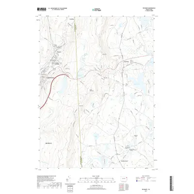
2019 Map of Waymart
USGS Topo · Published 2019About this map
The Lackawanna River corridor defines the western edge of this landscape, where the industrial and religious heritage of Carbondale, Simpson, and Vandling is etched into the valley. Numerous denominational burial grounds, including Saint Basil's Russian Orthodox Cem and Saints Peter and Paul Greek Catholic Cem, reflect the diverse immigrant communities that settled the coal regions. East of the river, the Moosic Mountains rise sharply toward High Knob, creating a natural divide between the river valley and the plateau of Waymart.
Find a feature on this map
130 named features on this map. Tap any name to fly to it.
Don’t see what you’re looking for? This feature index may not catch every label — zoom into the map to look around manually.
Map Details
Editions of this 2019 Waymart Map
This is the sole edition of this map. No revisions or reprints were ever made.
Other maps of this area

1889 · Scranton
USGS Topo · 1:62,500

1891 · Scranton
USGS Topo · 1:62,500

1892 · Honesdale
USGS Topo · 1:62,500

1892 · Dundaff
USGS Topo · 1:62,500

1893 · Scranton
USGS Topo · 1:62,500

1928 · Ariel
USGS Topo · 1:62,500

1932 · Ariel
USGS Topo · 1:62,500

1943 · Scranton
USGS Topo · 1:125,000

1943 · Honesdale
USGS Topo · 1:125,000

1946 · Olyphant
USGS Topo · 1:24,000
Featured Places
- Carbondale, PA
- Waymart, PA
- South Canaan Township, PA
- Carbondale Township, PA
- Whites Crossing, Carbondale Township