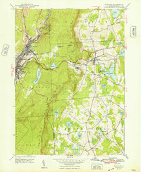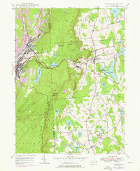
1946 Map of Waymart
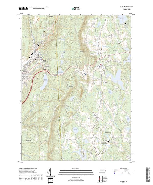
USGS Topo · Published 1976About this map
Carbondale and the industrial corridors of the Lackawanna River valley meet the high ridges of Moosic Mountain in this 1940s survey. The landscape reflects a transition from the intensive resource extraction of strip mines and the Delaware and Hudson corridor to the institutional and agricultural spaces of the east. Notable landmarks include the Fairview State Hospital and a Russian Monastery near South Canaan, illustrating the diverse land use of Wayne and Lackawanna counties. The eastern half of the sheet is defined by a dense network of water bodies such as Lake Lodore and Keen Pond, alongside rural community centers like Waymart. The presence of the Salem Firetower on Salem Hill highlights the era's focus on forest management overlooking the older transport routes of the Erie-Lackawanna and an Old Grade.
Find a feature on this map
45 named features on this map. Tap any name to fly to it.
Don’t see what you’re looking for? This feature index may not catch every label — zoom into the map to look around manually.
Map Details
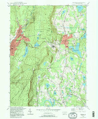
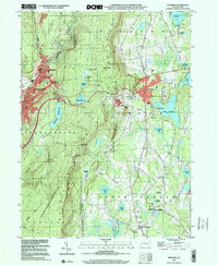
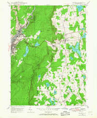
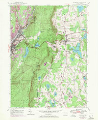
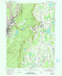
Editions of this 1946 Waymart Map
4 editions found
Historical Maps of Carbondale Through Time
5 maps found