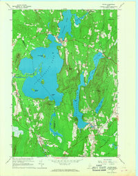
1966 Map of Wayne
USGS Topo · Published 1968About this map
The town of Wayne serves as a central hub on this mid-1960s survey, situated on the narrow isthmus between Pocasset Lake and the expansive Androscoggin Lake. The region’s geography is defined by its deep connectivity between water and rail, with the Maine Central corridor skirting the southern edge through North Monmouth. This transportation network supported local industry and education, evidenced by the presence of Monmouth Academy and several gravel pits scattered throughout the landscape.
Find a feature on this map
42 named features on this map. Tap any name to fly to it.
Don’t see what you’re looking for? This feature index may not catch every label — zoom into the map to look around manually.
Map Details
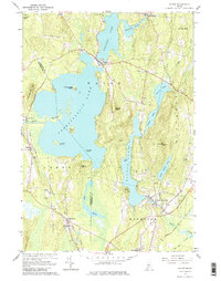
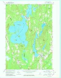
Editions of this 1966 Wayne Map
3 editions found
Other maps of this area

1892 · Gardiner
USGS Topo · 1:62,500

1892 · Augusta
USGS Topo · 1:62,500

1908 · Lewiston
USGS Topo · 1:62,500

1910 · Livermore
USGS Topo · 1:62,500

1912 · Livermore
USGS Topo · 1:62,500

1941 · Livermore
USGS Topo · 1:62,500

1941 · Augusta
USGS Topo · 1:62,500

1942 · Lewiston
USGS Topo · 1:62,500

1943 · Augusta
USGS Topo · 1:62,500

1943 · Gardiner
USGS Topo · 1:62,500