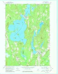
1966 Map of Wayne
USGS Topo · Published 1980About this map
Pocasset Lake and Androscoggin Lake dominate this mid-1960s landscape, where the town of Wayne serves as a narrow bridge between these expansive water bodies. The terrain is characterized by numerous islands like Androscoggin Island and Lothrop Island, alongside high points such as Mt Pisgah with its Lookout Tower and Morrison Heights.
Find a feature on this map
47 named features on this map. Tap any name to fly to it.
Don’t see what you’re looking for? This feature index may not catch every label — zoom into the map to look around manually.
Map Details
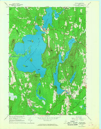
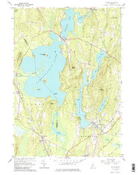
Editions of this 1966 Wayne Map
3 editions found
Other maps of this area

1892 · Gardiner
USGS Topo · 1:62,500

1892 · Augusta
USGS Topo · 1:62,500

1908 · Lewiston
USGS Topo · 1:62,500

1910 · Livermore
USGS Topo · 1:62,500

1912 · Livermore
USGS Topo · 1:62,500

1941 · Livermore
USGS Topo · 1:62,500

1941 · Augusta
USGS Topo · 1:62,500

1942 · Lewiston
USGS Topo · 1:62,500

1943 · Augusta
USGS Topo · 1:62,500

1943 · Gardiner
USGS Topo · 1:62,500