Loading...
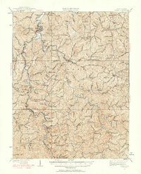
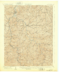
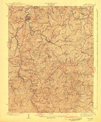
Loading map...1931 Map of Wayne
USGS Topo · Published 1956About this map
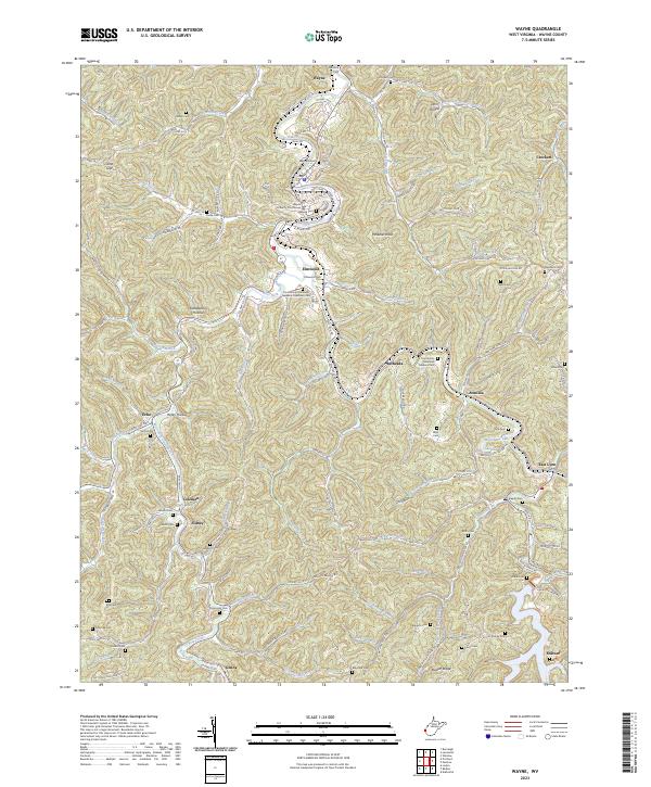
The Wayne county seat and the winding path of Twelvepole Creek define the geography of this 1931 revision. This landscape is a dense network of ridge-top schools and creek-bottom settlements, showing the rural structure of the region before modern consolidation. Communities like East Lynn, Genoa, and Radnor are linked by the Norfolk and Western Ry, which follows the water gaps through the hills.
Find a feature on this map
146 named features on this map. Tap any name to fly to it.
Don’t see what you’re looking for? This feature index may not catch every label — zoom into the map to look around manually.
Map Details
Date Portrayed1931
Date Published1956
PublisherU.S. Geological Survey
Map TypeTopographic
Scale1:62,500
Physical Dimensions16.8 x 20.7 inches
Editions of this 1931 Wayne Map
This is the sole edition of this map. No revisions or reprints were ever made.
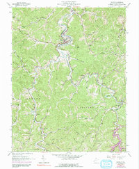
Historical Maps of Wayne Through Time
5 maps found
Featured Locations
Source Details
SourceU.S. Geological Survey
CopyrightPublic Domain