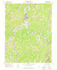
1962 Map of Wayne
USGS Topo · Published 1977About this map
Twelvepole Creek winds through the heart of Wayne County, defining the valley where the town of Wayne sits as a central hub. This survey illustrates the landscape as it transitioned in the mid-1970s, notably showing the development of East Lynn Lake and the Norfolk and Western railroad corridor. The area is dense with family heritage markers, including the Kennedy Chapel Cem, Elmwood Cem, and Adkins Cem, alongside rural social centers like the Wayne High Sch and Twomile Sch.
Find a feature on this map
87 named features on this map. Tap any name to fly to it.
Don’t see what you’re looking for? This feature index may not catch every label — zoom into the map to look around manually.
Map Details
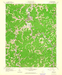
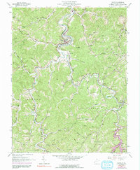
Editions of this 1962 Wayne Map
3 editions found
Other maps of this area

1892 · Huntington
USGS Topo · 1:125,000

1898 · Huntington
USGS Topo · 1:125,000

1901 · Guyandot
USGS Topo · 1:62,500

1901 · Ceredo
USGS Topo · 1:62,500

1902 · Guyandot
USGS Topo · 1:62,500

1903 · Kenova
USGS Topo · 1:125,000

1904 · Kenova
USGS Topo · 1:125,000

1909 · Wayne
USGS Topo · 1:62,500

1911 · Louisa
USGS Topo · 1:48,000

1913 · Ceredo
USGS Topo · 1:62,500