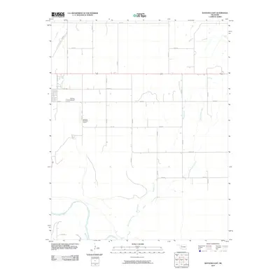
2010 Map of Waynoka East
USGS Topo · Published 2010About this map
The Cimarron River winds through the southern landscape of this Woods County survey, defining the topography of the region east of Waynoka. The transition from the river valley to the upland plains is marked by several seasonal drainages, including Walnut Grove Creek, Wildcat Creek, and Sand Creek. This area shows a highly organized section-line road grid, where routes like N2330 Rd and E0280 Rd facilitate travel across the rural agricultural terrain. On the western edge of the sheet, the outskirts of the local community are represented by the Waynoka Municipal Cemetery and the Waynoka Municipal Airport. The layout of streets such as N Lincoln St and E Broadway St indicates the initial eastward expansion of the town core into the surrounding prairie.
Find a feature on this map
23 named features on this map. Tap any name to fly to it.
Don’t see what you’re looking for? This feature index may not catch every label — zoom into the map to look around manually.
Map Details
Editions of this 2010 Waynoka East Map
This is the sole edition of this map. No revisions or reprints were ever made.
Other maps of this area

1955 · Woodward
USGS Topo · 1:250,000

1958 · Woodward
USGS Topo · 1:250,000

1969 · Belva
USGS Topo · 1:24,000

1969 · Dacoma SW
USGS Topo · 1:24,000

1969 · Glass Mountains NW
USGS Topo · 1:24,000

1969 · Waynoka NW
USGS Topo · 1:24,000

1969 · Hopeton
USGS Topo · 1:24,000

1969 · Avard
USGS Topo · 1:24,000

1969 · Waynoka East
USGS Topo · 1:24,000

1969 · Togo
USGS Topo · 1:24,000