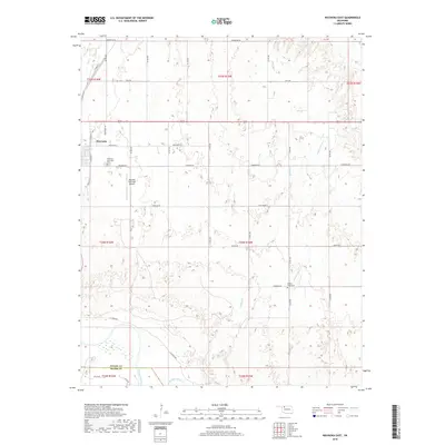
2018 Map of Waynoka East
USGS Topo · Published 2018About this map
Waynoka sits at the western edge of this Woods County landscape, where the town's grid meets the agricultural reaches of northwestern Oklahoma. The map documents a rural transition from the residential streets of Waynoka and the Waynoka Municipal Airport toward the open bottomlands of the Cimarron River. This river corridor defines the southern boundary, where it marks the border between Woods Co and Major Co. Local history is anchored by the Waynoka Municipal Cem and the more distant Walnut Grove Cem, which sits near the banks of Walnut Grove Cr. The drainage pattern of the region is traced by several seasonal waterways, including Wildcat Cr and Sand Cr, which cut through a network of section roads like Cimarron Rd and Comanche Rd.
Find a feature on this map
39 named features on this map. Tap any name to fly to it.
Don’t see what you’re looking for? This feature index may not catch every label — zoom into the map to look around manually.
Map Details
Editions of this 2018 Waynoka East Map
This is the sole edition of this map. No revisions or reprints were ever made.
Other maps of this area

1955 · Woodward
USGS Topo · 1:250,000

1958 · Woodward
USGS Topo · 1:250,000

1969 · Belva
USGS Topo · 1:24,000

1969 · Dacoma SW
USGS Topo · 1:24,000

1969 · Glass Mountains NW
USGS Topo · 1:24,000

1969 · Waynoka NW
USGS Topo · 1:24,000

1969 · Hopeton
USGS Topo · 1:24,000

1969 · Avard
USGS Topo · 1:24,000

1969 · Waynoka East
USGS Topo · 1:24,000

1969 · Togo
USGS Topo · 1:24,000