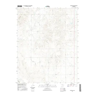
2016 Map of Waynoka NW
USGS Topo · Published 2016About this map
P M Miller Reservoir and McGill Lake anchor the northern reaches of this Woodward County landscape, situated within a dense network of sectional roads and drainages. The area is defined by the winding course of Whitehorse Cr in the northwest and Eagle Chief Cr in the northeast, illustrating the hydrologic character of the northwestern Oklahoma plains. A structured grid of rural routes, including Grant Rd, Custer Rd, and Comanche Rd, partitions the land, marking the persistent agricultural and ranching patterns of the early 21st century. The map also captures the political boundary of Woods Co at its western edge, providing a clear view of the territorial divisions near Waynoka at this moment in time. This survey is particularly useful for tracing modern land ownership boundaries and identifying specific water management features used in the local cattle and farming economy.
Find a feature on this map
22 named features on this map. Tap any name to fly to it.
Don’t see what you’re looking for? This feature index may not catch every label — zoom into the map to look around manually.
Map Details
Editions of this 2016 Waynoka NW Map
This is the sole edition of this map. No revisions or reprints were ever made.
Other maps of this area

1955 · Woodward
USGS Topo · 1:250,000

1958 · Woodward
USGS Topo · 1:250,000

1969 · Tegarden SE
USGS Topo · 1:24,000

1969 · Waynoka NW
USGS Topo · 1:24,000

1969 · Avard
USGS Topo · 1:24,000

1969 · Waynoka East
USGS Topo · 1:24,000

1969 · Tegarden
USGS Topo · 1:24,000

1969 · Waynoka West
USGS Topo · 1:24,000

1970 · Fairvalley SE
USGS Topo · 1:24,000

1970 · Fairvalley
USGS Topo · 1:24,000