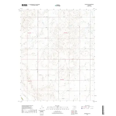
2018 Map of Waynoka NW
USGS Topo · Published 2018About this map
Whitehorse Cr and Eagle Chief Cr meander through this section of northwest Oklahoma, carving subtle drainage patterns across the plains of Woods Co. The landscape is defined by a rigid section-line road grid, including named thoroughfares like Grant Rd and Custer Rd, which facilitate transit between rural homesteads and agricultural plots. This network reflects the systematic land divisions of the Public Land Survey System, specifically within Township 26 North and Range 17 West.
Find a feature on this map
26 named features on this map. Tap any name to fly to it.
Don’t see what you’re looking for? This feature index may not catch every label — zoom into the map to look around manually.
Map Details
Editions of this 2018 Waynoka NW Map
This is the sole edition of this map. No revisions or reprints were ever made.
Other maps of this area

1955 · Woodward
USGS Topo · 1:250,000

1958 · Woodward
USGS Topo · 1:250,000

1969 · Tegarden SE
USGS Topo · 1:24,000

1969 · Waynoka NW
USGS Topo · 1:24,000

1969 · Avard
USGS Topo · 1:24,000

1969 · Waynoka East
USGS Topo · 1:24,000

1969 · Tegarden
USGS Topo · 1:24,000

1969 · Waynoka West
USGS Topo · 1:24,000

1970 · Fairvalley SE
USGS Topo · 1:24,000

1970 · Fairvalley
USGS Topo · 1:24,000