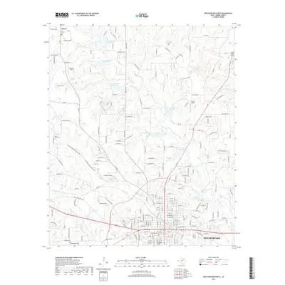
2019 Map of Weatherford North
USGS Topo · Published 2019About this map
The city of Weatherford anchors this landscape in the late 2010s, showing a detailed street grid that extends north toward Oyster Hill and the waters of Albert Smith Lake. The map reveals a transition from urban development to a rural Parker County landscape defined by a complex network of reservoirs, such as Reservoir Number Twentyfour and Reservoir Number Twentysix, which manage the many drainage branches including Beeman Br and Belknap Br.
Find a feature on this map
201 named features on this map. Tap any name to fly to it.
Don’t see what you’re looking for? This feature index may not catch every label — zoom into the map to look around manually.
Map Details
Editions of this 2019 Weatherford North Map
This is the sole edition of this map. No revisions or reprints were ever made.
Other maps of this area

1891 · Weatherford
USGS Topo · 1:125,000

1893 · Weatherford
USGS Topo · 1:125,000

1931 · Dennis
USGS Topo · 1:62,500

1932 · Springtown
USGS Topo · 1:62,500

1954 · Dallas
USGS Topo · 1:250,000

1958 · Dallas
USGS Topo · 1:250,000

1958 · Springtown
USGS Topo · 1:24,000
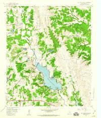
1959 · Lake Weatherford
USGS Topo · 1:24,000
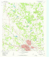
1959 · Weatherford North
USGS Topo · 1:24,000
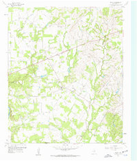
1959 · Brock
USGS Topo · 1:24,000