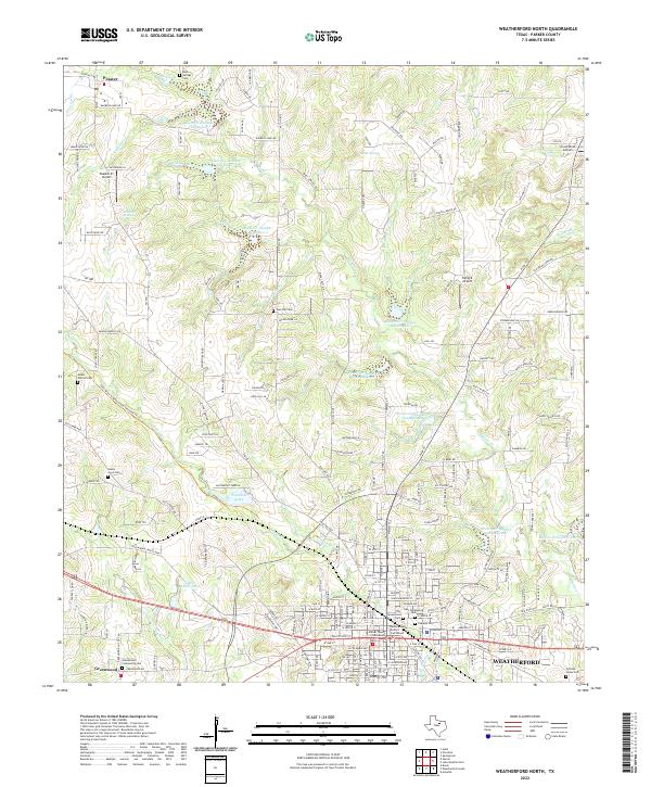
2022 Map of Weatherford North
USGS Topo · Published 2022About this map
The northern reaches of Weatherford and the surrounding Parker County countryside are defined by a series of numbered reservoirs and a landscape dotted with long-established community burial grounds. At the heart of the settlement, the Parker County Courthouse and Parker County District Courthouse serve as the civic anchors for the region. The map captures the suburban and rural interface where the Lake Mineral Wells State Trailway Trl cuts across the terrain, repurposing old rail corridors for modern use. Northward, the landscape transitions into the rolling hills and creek beds of Peaster and Greenwood, where family-named landmarks like Stimson Springs and Oyster Hill rise above the drainage of Willow Cr and Peaster Cr. Genealogists will find a concentration of historic sites here, ranging from the Rock Springs Cem in the north to the Pythian Home Cem on the edge of the city, illustrating the deep-rooted settlement patterns of this North Texas area.
Find a feature on this map
221 named features on this map. Tap any name to fly to it.
Don’t see what you’re looking for? This feature index may not catch every label — zoom into the map to look around manually.
Map Details
Editions of this 2022 Weatherford North Map
This is the sole edition of this map. No revisions or reprints were ever made.
Other maps of this area

1891 · Weatherford
USGS Topo · 1:125,000

1893 · Weatherford
USGS Topo · 1:125,000

1931 · Dennis
USGS Topo · 1:62,500

1932 · Springtown
USGS Topo · 1:62,500

1954 · Dallas
USGS Topo · 1:250,000

1958 · Dallas
USGS Topo · 1:250,000

1958 · Springtown
USGS Topo · 1:24,000
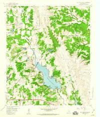
1959 · Lake Weatherford
USGS Topo · 1:24,000
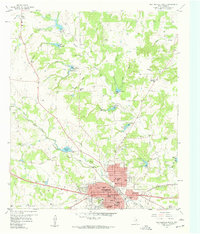
1959 · Weatherford North
USGS Topo · 1:24,000
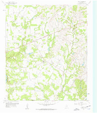
1959 · Brock
USGS Topo · 1:24,000