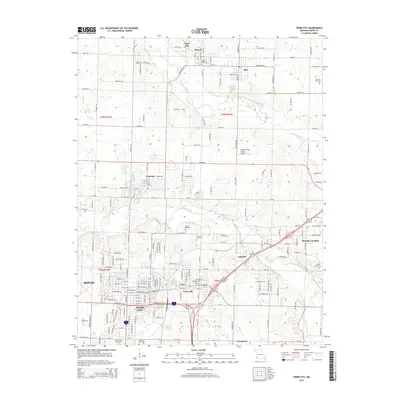
2015 Map of Webb City
USGS Topo · Published 2015About this map
Webb City and Carterville anchor this 2015 topographic study of the mining-impacted landscape north of Joplin. The region's history is written in the dense network of cemeteries, from the large Mount Hope Cemetery to the smaller Friends Cemetery near Purcell. The transition from historic industrial activity to modern infrastructure is visible as the highway corridors of Webb City and Carterville intersect the older rural grids of Neck City and Alba. The northern reach is defined by the Spring River, while Center Creek winds between Oronogo and Brooklyn Heights. Local transport and aviation history are noted by the Cooper Flying Service Airport and a grid of county roads such as Co Road D and Kafir Rd, reflecting the steady development of this Jasper County corridor between the river and the urban expansion of Joplin.
Find a feature on this map
148 named features on this map. Tap any name to fly to it.
Don’t see what you’re looking for? This feature index may not catch every label — zoom into the map to look around manually.
Map Details
Editions of this 2015 Webb City Map
This is the sole edition of this map. No revisions or reprints were ever made.
Other maps of this area

1886 · Joplin
USGS Topo · 1:125,000

1886 · Carthage
USGS Topo · 1:125,000

1894 · Joplin
USGS Topo · 1:125,000

1894 · Carthage
USGS Topo · 1:125,000

1945 · Pittsburg
USGS Topo · 1:62,500

1947 · Joplin
USGS Topo · 1:250,000

1947 · Pittsburg
USGS Topo · 1:62,500

1949 · Joplin
USGS Topo · 1:250,000

1950 · Pittsburg
USGS Topo · 1:62,500

1954 · Joplin
USGS Topo · 1:250,000