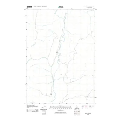
2010 Map of Webb Creek
USGS Topo · Published 2010About this map
Ola Valley serves as a central point in this Gem County landscape, where the Sweet Ola Hwy follows the winding path of Squaw Creek. The area is defined by its intricate drainage systems, with numerous tributaries such as Webb Creek, Big Cottonwood Creek, and Rattlesnake Creek feeding into the primary valley floor. Evidence of local industry and natural resources is visible at the Liberty Mine and Box Spring, which are situated among the rising elevations east of the main road.
Find a feature on this map
24 named features on this map. Tap any name to fly to it.
Don’t see what you’re looking for? This feature index may not catch every label — zoom into the map to look around manually.
Map Details
Editions of this 2010 Webb Creek Map
This is the sole edition of this map. No revisions or reprints were ever made.
Other maps of this area

1892 · Boise
USGS Topo · 1:125,000

1894 · Squaw Creek
USGS Topo · 1:125,000

1897 · Boise
USGS Topo · 1:125,000

1953 · Banks
USGS Topo · 1:62,500

1953 · Montour
USGS Topo · 1:62,500

1955 · Baker
USGS Topo · 1:250,000

1955 · Boise
USGS Topo · 1:250,000

1957 · Horseshoe Bend
USGS Topo · 1:24,000

1958 · Boise
USGS Topo · 1:250,000

1959 · Baker
USGS Topo · 1:250,000