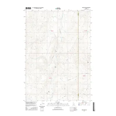
2017 Map of Webb Creek
USGS Topo · Published 2017About this map
Ola Valley and Sweet Valley serve as the primary geographical anchors in this section of Gem County, where the landscape is defined by a dense network of watercourses. The drainage of Webb Creek and Squaw Creek dictates the movement through the terrain, with the Sweet Ola Hwy providing the main north-south artery through the valley floors. The boundary between Gem and Boise counties runs through the eastern portion of the map, cutting across high elevations like Timber Butte.
Find a feature on this map
32 named features on this map. Tap any name to fly to it.
Don’t see what you’re looking for? This feature index may not catch every label — zoom into the map to look around manually.
Map Details
Editions of this 2017 Webb Creek Map
This is the sole edition of this map. No revisions or reprints were ever made.
Other maps of this area

1892 · Boise
USGS Topo · 1:125,000

1894 · Squaw Creek
USGS Topo · 1:125,000

1897 · Boise
USGS Topo · 1:125,000

1953 · Banks
USGS Topo · 1:62,500

1953 · Montour
USGS Topo · 1:62,500

1955 · Baker
USGS Topo · 1:250,000

1955 · Boise
USGS Topo · 1:250,000

1957 · Horseshoe Bend
USGS Topo · 1:24,000

1958 · Boise
USGS Topo · 1:250,000

1959 · Baker
USGS Topo · 1:250,000