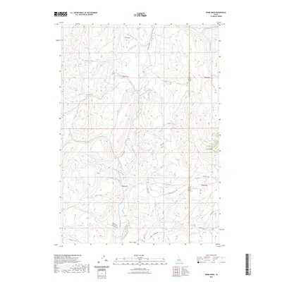
2023 Map of Webb Creek
USGS Topo · Published 2023About this map
Ola Valley and Sweet Valley anchor this mountainous landscape on the border of Gem and Boise Counties. The terrain is defined by a dense network of watercourses, including the westward-flowing Webb Creek and the intricate drainages of Big Cottonwood Creek and Little Cottonwood Creek. Transportation through these high valleys relies on the Sweet Ola Hwy, which traces the contours of the land alongside Chief Eagle Eye Creek.
Find a feature on this map
30 named features on this map. Tap any name to fly to it.
Don’t see what you’re looking for? This feature index may not catch every label — zoom into the map to look around manually.
Map Details
Editions of this 2023 Webb Creek Map
This is the sole edition of this map. No revisions or reprints were ever made.
Other maps of this area

1892 · Boise
USGS Topo · 1:125,000

1894 · Squaw Creek
USGS Topo · 1:125,000

1897 · Boise
USGS Topo · 1:125,000

1953 · Banks
USGS Topo · 1:62,500

1953 · Montour
USGS Topo · 1:62,500

1955 · Baker
USGS Topo · 1:250,000

1955 · Boise
USGS Topo · 1:250,000

1957 · Horseshoe Bend
USGS Topo · 1:24,000

1958 · Boise
USGS Topo · 1:250,000

1959 · Baker
USGS Topo · 1:250,000