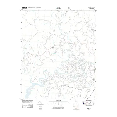
2011 Map of Webb
USGS Topo · Published 2011About this map
Mountaintown Creek and the Coosawattee River dominate this northern Georgia landscape, where winding waterways dictate the placement of rural settlements and family cemeteries. At New Hope, the local New Hope Cemetery sits just off Craigtown Rd, while to the west, the settlement of Tails Creek is surrounded by namesake features like Tails Creek Cemetery and the tributary waters of Fir Creek. The infrastructure of Gilmer County is visible in the transition between older landmarks like Ella Gap and modern additions such as the Gilmer County Airport and the Chitwood Lake Dam. Small communities like Roosevelt, Elders, and Webb are connected by a dense network of local roads, reflecting the shift from early settlement patterns to contemporary residential development near the shores of Carters Lake.
Find a feature on this map
87 named features on this map. Tap any name to fly to it.
Don’t see what you’re looking for? This feature index may not catch every label — zoom into the map to look around manually.
Map Details
Editions of this 2011 Webb Map
This is the sole edition of this map. No revisions or reprints were ever made.
Other maps of this area

1886 · Dalton
USGS Topo · 1:125,000

1888 · Ellijay
USGS Topo · 1:125,000

1892 · Ellijay
USGS Topo · 1:125,000

1892 · Dalton
USGS Topo · 1:125,000

1897 · Dalton
USGS Topo · 1:125,000

1898 · Ellijay
USGS Topo · 1:125,000

1911 · Ellijay
USGS Topo · 1:125,000

1911 · Cohutta Mtn
USGS Topo · 1:62,500

1913 · Cohutta Mtn.
USGS Topo · 1:62,500

1914 · Talking Rock
USGS Topo · 1:62,500