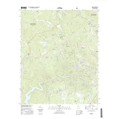
2017 Map of Webb
USGS Topo · Published 2017About this map
Mountaintown Creek and the Coosawattee River carve through this section of the north Georgia mountains, shaping a landscape defined by isolated valleys and timbered ridges. The area is characterized by numerous small mountain communities like Roosevelt, Elders, and Tails Creek, where social and family life centers on a dense network of country churches and burial grounds. Many of these, including the Goble Family Cem and Mountaintown Baptist Church Cem, offer critical clues for genealogists tracking early Appalachian families.
Find a feature on this map
232 named features on this map. Tap any name to fly to it.
Don’t see what you’re looking for? This feature index may not catch every label — zoom into the map to look around manually.
Map Details
Editions of this 2017 Webb Map
This is the sole edition of this map. No revisions or reprints were ever made.
Other maps of this area

1886 · Dalton
USGS Topo · 1:125,000

1888 · Ellijay
USGS Topo · 1:125,000

1892 · Ellijay
USGS Topo · 1:125,000

1892 · Dalton
USGS Topo · 1:125,000

1897 · Dalton
USGS Topo · 1:125,000

1898 · Ellijay
USGS Topo · 1:125,000

1911 · Ellijay
USGS Topo · 1:125,000

1911 · Cohutta Mtn
USGS Topo · 1:62,500

1913 · Cohutta Mtn.
USGS Topo · 1:62,500

1914 · Talking Rock
USGS Topo · 1:62,500