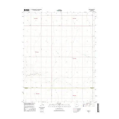
2016 Map of Webb
USGS Topo · Published 2016About this map
Webb sits at the northern edge of this high plains landscape, situated near the corner of the Prowers Co Baca Co boundary. The terrain is defined by the subtle drainage patterns of N Bear Cr and the meandering path of Little Bear Creek as they cut through the sectioned agricultural grid. A strictly organized network of section roads, including Co RD H and Co RD XX, facilitates movement across this rural corner of Colorado, reflecting the enduring legacy of the Public Land Survey System. The area remains a characteristic example of the rural ranching and farming landscape found at the intersection of these two eastern counties, where water sources like Little Bear Cr dictate the layout of the land.
Find a feature on this map
21 named features on this map. Tap any name to fly to it.
Don’t see what you’re looking for? This feature index may not catch every label — zoom into the map to look around manually.
Map Details
Editions of this 2016 Webb Map
This is the sole edition of this map. No revisions or reprints were ever made.
Other maps of this area

1891 · Albany
USGS Topo · 1:125,000

1893 · Albany
USGS Topo · 1:125,000

1955 · La Junta
USGS Topo · 1:250,000

1958 · La Junta
USGS Topo · 1:250,000
1966 · Two Butte Springs
USGS Topo · 1:24,000
1966 · Durkee Creek SE
USGS Topo · 1:24,000

1968 · La Junta
USGS Topo · 1:250,000
1968 · North Plum Creek SE
USGS Topo · 1:24,000
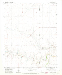
1971 · Lycan SE
USGS Topo · 1:24,000
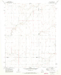
1971 · Lycan NE
USGS Topo · 1:24,000