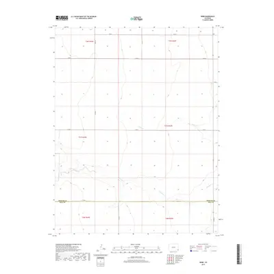
2019 Map of Webb
USGS Topo · Published 2019About this map
Webb occupies the high plains in the northeast corner of this map, situated in a remote agricultural landscape defined by the Public Land Survey System. The terrain is divided into neat sections by a network of county roads, including Co RD H and Co RD 52. This geometric layout is interrupted only by the winding paths of intermittent waterways like N Bear Cr and the more significant Little Bear Creek to the south. The southern portion of the quadrangle marks the boundary between Prowers and Baca Counties. These watercourses carve shallow depressions into the prairie, providing the primary topographical variation in a region otherwise dominated by the vast, open stretches of southeastern Colorado's ranching and farming country.
Find a feature on this map
20 named features on this map. Tap any name to fly to it.
Don’t see what you’re looking for? This feature index may not catch every label — zoom into the map to look around manually.
Map Details
Editions of this 2019 Webb Map
This is the sole edition of this map. No revisions or reprints were ever made.
Other maps of this area

1891 · Albany
USGS Topo · 1:125,000

1893 · Albany
USGS Topo · 1:125,000

1955 · La Junta
USGS Topo · 1:250,000

1958 · La Junta
USGS Topo · 1:250,000
1966 · Two Butte Springs
USGS Topo · 1:24,000
1966 · Durkee Creek SE
USGS Topo · 1:24,000

1968 · La Junta
USGS Topo · 1:250,000
1968 · North Plum Creek SE
USGS Topo · 1:24,000
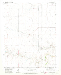
1971 · Lycan SE
USGS Topo · 1:24,000
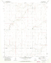
1971 · Lycan NE
USGS Topo · 1:24,000