
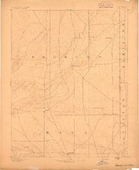
1971 Map of Webb
USGS Topo · Published 1973About this map
Webb sits at the northern edge of this high plains landscape, surveyed just before the 1970s. The terrain is defined by the drainage patterns of North Bear Creek and Little Bear Creek, which carve winding paths through the shortgrass prairie. This area serves as a transition point between two southern Colorado jurisdictions, as indicated by the Prowers Co Baca Co line crossing the southern portion of the sheet. The landscape is marked by a sparse but essential network of water sources, with numerous sites labeled simply as Well providing the necessary infrastructure for ranching and agriculture in an arid climate. Economic activity is localized, evidenced by a Gravel Pit situated near the confluence of the creek branches, highlighting the extraction of local materials for regional road development.
Find a feature on this map
7 named features on this map. Tap any name to fly to it.
Don’t see what you’re looking for? This feature index may not catch every label — zoom into the map to look around manually.
Map Details
Editions of this 1971 Webb Map
This is the sole edition of this map. No revisions or reprints were ever made.
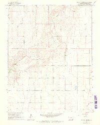
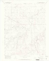
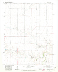
Other maps of this area

1891 · Albany
USGS Topo · 1:125,000
1893 · Albany
USGS Topo · 1:125,000

1955 · La Junta
USGS Topo · 1:250,000

1958 · La Junta
USGS Topo · 1:250,000
1966 · Two Butte Springs
USGS Topo · 1:24,000

1966 · Durkee Creek SE
USGS Topo · 1:24,000

1968 · La Junta
USGS Topo · 1:250,000
1968 · North Plum Creek SE
USGS Topo · 1:24,000
1971 · Lycan SE
USGS Topo · 1:24,000

1971 · Lycan NE
USGS Topo · 1:24,000