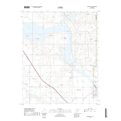
2018 Map of Webbers Falls
USGS Topo · Published 2018About this map
Webbers Falls and the town of Gore are focal points along the Arkansas River in this eastern Oklahoma landscape. The reach of the Webbers Falls Reservoir dominates the central topography, creating significant water-bound features such as Milligan Bend, Brewer Bend, and Padgett Bluff. This late 2010s survey illustrates a region defined by its water management and transport infrastructure, including the Muskogee Tpke crossing the river near Webbers Falls. Genealogists will find a high density of family-named burial sites scattered through the wooded hills, including Vaught Cem, Plunkett Cem, and Phillips Cem. Significant elevation changes are noted at Salt Spring Mtn and Sausbee Mtn, while the northern portion of the sheet shows the southern tip of Greenleaf Lake.
Find a feature on this map
59 named features on this map. Tap any name to fly to it.
Don’t see what you’re looking for? This feature index may not catch every label — zoom into the map to look around manually.
Map Details
Editions of this 2018 Webbers Falls Map
This is the sole edition of this map. No revisions or reprints were ever made.
Other maps of this area

1900 · Sansbois
USGS Topo · 1:125,000

1901 · Muscogee
USGS Topo · 1:125,000

1905 · Muscogee
USGS Topo · 1:125,000

1909 · Sans Bois
USGS Topo · 1:125,000

1911 · Sansbois
USGS Topo · 1:125,000

1946 · Fort Smith
USGS Topo · 1:250,000

1948 · Keefeton
USGS Topo · 1:62,500

1948 · Webbers Falls
USGS Topo · 1:62,500

1950 · Keefeton
USGS Topo · 1:62,500

1950 · Webbers Falls
USGS Topo · 1:62,500