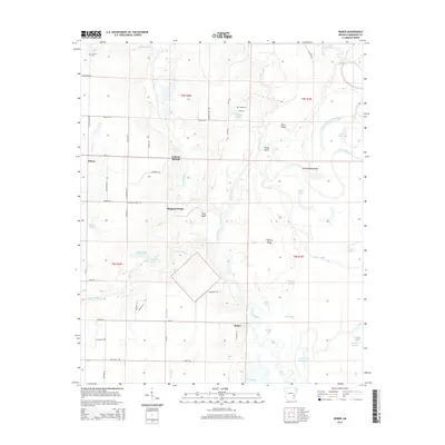
2014 Map of Weber
USGS Topo · Published 2014About this map
Sheppard Point and La Grue Springs anchor this portion of Arkansas County, where the low-lying terrain is defined by an intricate network of slow-moving water. The area is dominated by the meandering course of La Grue Bayou, which feeds into a complex of oxbows and wetlands including Moon Lakes, Wright Lake, and Eagle Nest Lake. Small rural communities such as Deluce and Weber are connected by local routes like Ar-17, while family-named landmarks like Nichols Cem and Tipsy Cem provide essential data points for those tracing local lineages. The map reveals the interplay between agriculture and the natural hydrology of the White River basin, seen in the transition from ridges like Briar Ridge to bottomland features such as Hickory Slough and Wolf Bayou. This geography reflects a landscape shaped by periodic flooding and the shifting paths of the bayous.
Find a feature on this map
71 named features on this map. Tap any name to fly to it.
Don’t see what you’re looking for? This feature index may not catch every label — zoom into the map to look around manually.
Map Details
Editions of this 2014 Weber Map
This is the sole edition of this map. No revisions or reprints were ever made.
Other maps of this area

1935 · Gillett
USGS Topo · 1:62,500

1939 · Indian Bay
USGS Topo · 1:62,500

1939 · Henrico
USGS Topo · 1:62,500

1941 · De Witt
USGS Topo · 1:62,500

1948 · Helena
USGS Topo · 1:250,000

1950 · Helena
USGS Topo · 1:250,000

1954 · Indian Bay
USGS Topo · 1:62,500

1954 · De Witt
USGS Topo · 1:62,500

1954 · Henrico
USGS Topo · 1:62,500

1955 · Helena
USGS Topo · 1:250,000