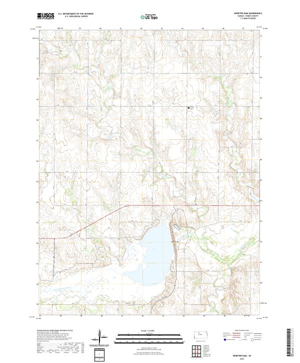
2022 Map of Webster Dam
USGS Topo · Published 2022About this map
The S Fork Solomon River defines the lower third of this Rooks County landscape, where the massive Webster Dam regulates the flow of water across the Kansas plains. This modern topographic survey highlights a transition between the river bottomlands and the upland drainage systems of Sand Cr and Ash Cr. The area is organized by a precise grid of rural routes, ranging from F RD in the north to N RD in the south, reflecting the enduring township-and-range settlement pattern of the region.
Find a feature on this map
35 named features on this map. Tap any name to fly to it.
Don’t see what you’re looking for? This feature index may not catch every label — zoom into the map to look around manually.
Map Details
Editions of this 2022 Webster Dam Map
This is the sole edition of this map. No revisions or reprints were ever made.
Other maps of this area

1893 · Norton
USGS Topo · 1:125,000

1893 · Phillipsburg
USGS Topo · 1:125,000

1893 · Hill
USGS Topo · 1:125,000

1896 · Plainville
USGS Topo · 1:125,000

1952 · Webster Dam
USGS Topo · 1:24,000

1953 · Stockton
USGS Topo · 1:24,000

1955 · Beloit
USGS Topo · 1:250,000

1959 · Beloit
USGS Topo · 1:250,000

1969 · Nicodemus
USGS Topo · 1:24,000

1969 · Palco
USGS Topo · 1:24,000