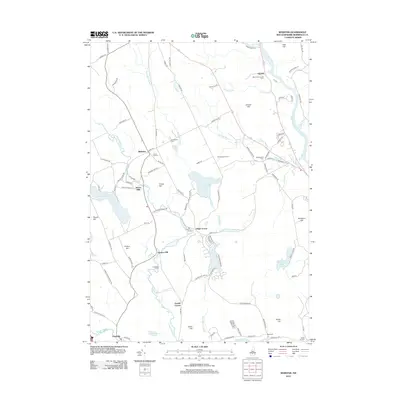
2012 Map of Webster
USGS Topo · Published 2012About this map
Webster and its surrounding rural landscapes in Merrimack County are defined by the winding course of the Blackwater River and the Warner River to the south. This region is characterized by established agrarian properties such as Richardson's Farm and the Merrimack County Farm, along with several concentrated crossroads like Dingit Corner and Gerrish Corner. The topography is punctuated by numerous family-named peaks, including Corser Hill, Snyders Hill, and Knowlton Hill, which offer context for the settlement patterns of central New Hampshire. Genealogists can find significant value in the distribution of several local burial grounds, including Beaverdam Cem, Maplewood Cem, and Riverdale Cem. Water features like Lake Winnepocket and the smaller Walker Pond dominate the western and central portions of the map, while the eastern edge is shaped by the wide Merrimack River near Gerrish.
Find a feature on this map
106 named features on this map. Tap any name to fly to it.
Don’t see what you’re looking for? This feature index may not catch every label — zoom into the map to look around manually.
Map Details
Editions of this 2012 Webster Map
This is the sole edition of this map. No revisions or reprints were ever made.
Other maps of this area

1926 · Hillsboro
USGS Topo · 1:62,500

1927 · Concord
USGS Topo · 1:62,500

1927 · Penacook
USGS Topo · 1:62,500

1928 · Mount Kearsarge
USGS Topo · 1:62,500

1929 · Hillsboro
USGS Topo · 1:62,500

1931 · Mount Kearsarge
USGS Topo · 1:62,500

1949 · Portland
USGS Topo · 1:250,000

1949 · Concord
USGS Topo · 1:62,500

1956 · Penacook
USGS Topo · 1:62,500

1956 · Mt. Kearsarge
USGS Topo · 1:62,500